December 2022:

November 2021:
March 2020:
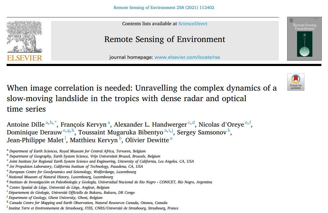
Another MODUS paper is out! Check our study of the dynamics of a not-so-slow-moving landslide in tropical conditions here: https://www.sciencedirect.com/science/article/abs/pii/S0034425721001206
August 2019:
MODUS's first paper is out! Check our study of the causes and drivers of instability of the recent Ikoma landslide here: https://www.sciencedirect.com/science/article/abs/pii/S0169555X19303071
June 2019: Belgian Earth Observation story of the month: keeping an eye on landslides with MODUS
MODUS in the spotlight! Fresh work on the recent evolution of the urban area within the city of Bukavu is presented here: https://eo.belspo.be/en/news/modus-keeping-eye-landslides
September 2018:
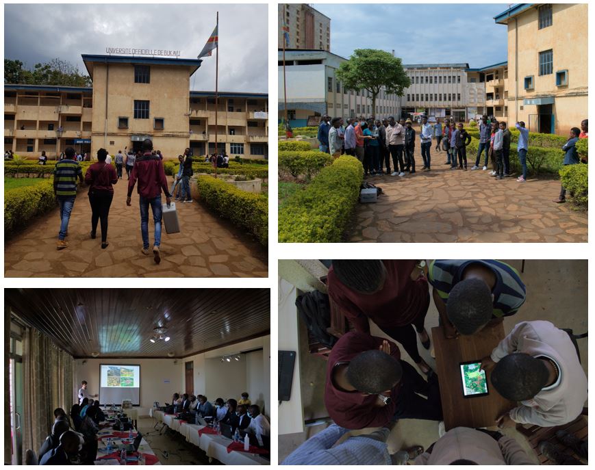
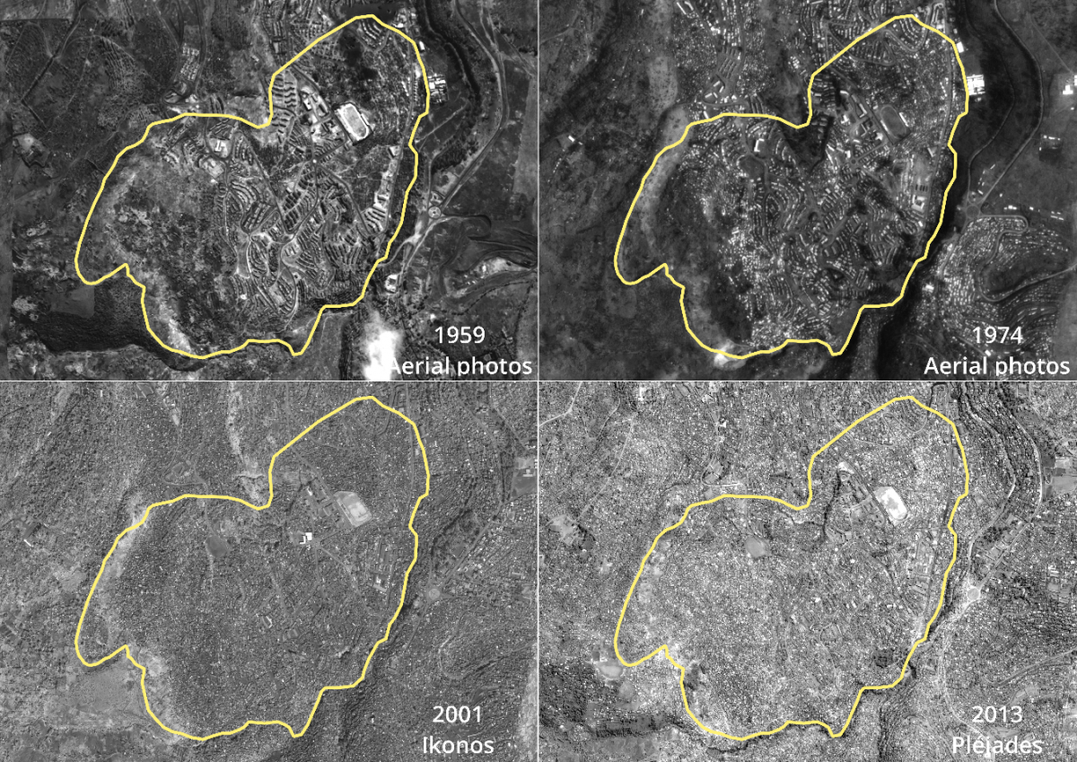
Some pictures of the 2018 field campaign. They show dGNSS campaign and GCP acquisitions for georeferencing of UAV models. Field campaigns are also used to interpret and validate the detected movements according to the environmental context directly observed.
April 2018:
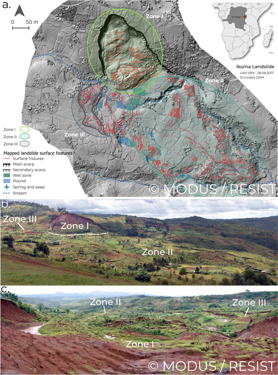
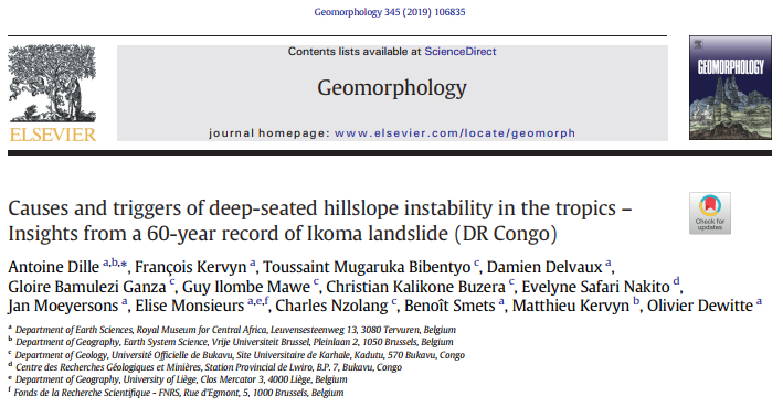
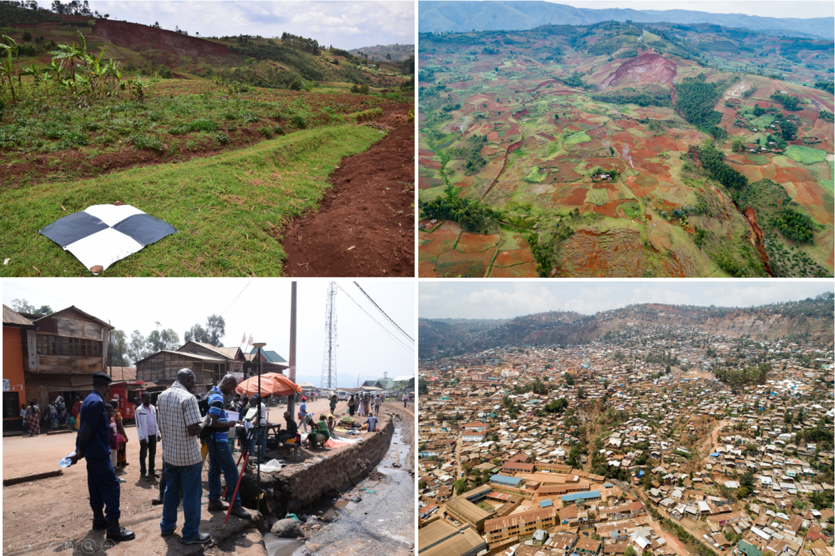
The accurate characterisation of landslide processes remains a challenge in many regions. A fundamental tool to reach this goal is the availability of high-resolution digital representation of the surface topography, which greatly facilitates the study of landslide morphology, structures and mechanisms. To this aim, we used the acquisitions from a small Unmanned Aerial Vehicle (UAV) to reconstruct the topography of a recent deep-seated landslide (called Ikoma Landslide) located near the city of Bukavu, in Eastern DR Congo. The location of this landslide in a tropical environment and within the seismically active Kivu rift, as well as the presence of recent and highly apparent surface features make it a perfect natural laboratory to study landslide processes in such a data-scarce environment.
We complemented the study of the high-resolution topography with high-resolution satellite imagery and intense field surveys, which allows us to better discriminate its spatial and temporal evolution. We mapped the landslide structures, allowing the identification of three different landslide kinematic units (Zone I, II and III on the Fig.). These different sectors highlighting interactions within the landslide body but also the occurrence of multiple deformation episodes, all providing keys for the understanding of the mechanisms and the overall behaviour of the landmass. The satellite image time-series analysis allowed for further analysis of the different failures stages, also showing that deformation features were already present more than a decade ago. Altogether, these elements provide insights into the mechanisms and behaviour of this landslide, which does not seem to have been triggered by a specific event. Information gathered in this study helping to better evaluate the landslide hazard in the particularly data-scarce Kivu Rift region.